Ridge Meadows Circle
Pitt Meadows and Maple Ridge are made for cycling. The full circle is mostly on dyke trails and quiet shared roads. You’ll see cranberry fields, three rivers, an airport, pumpkin patches; and might spot eagles, herons, and horses along the way.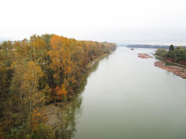
Three Bridges ~ Port Mann, Golden Ears, Pitt River
Enjoy three bridges, three parks, and three greenways on this loop around the Fraser River. Ride over the Port Mann Bridge, through Surrey, over the Golden Ears Bridge, along the Pitt River Greenway, and the Poco Trail.
Pitt River Greenway
This section of The Great Trail runs along the Pitt and Fraser rivers. You’ll ride by cranberry fields, see planes come and go from the Pitt Meadows Airport, and can have lunch at Stomping Grounds in Osprey Village.Books + Gear ~ the Gift of Exploring!
With over 170 maps between them, there’s something for everyone, on foot or bike, from flat scenic rail trails and country roads, to mountain trails and exciting new e-bike routes!...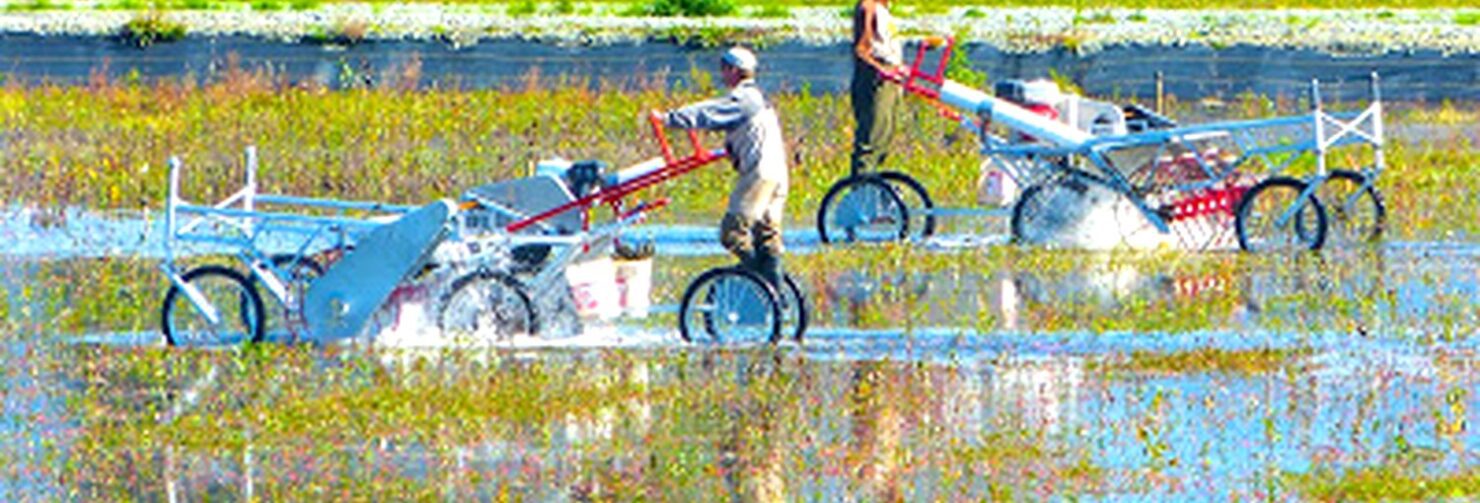
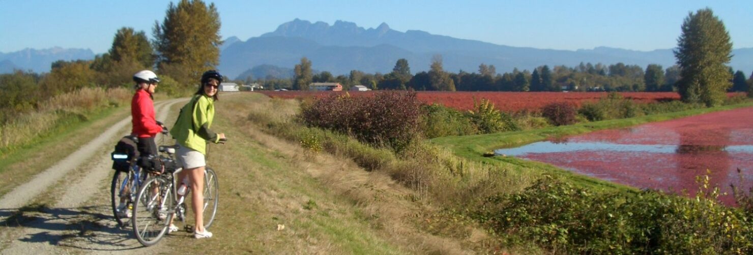
Cranberry Trail
It’s Cranberry Harvest Time! Pitt Meadows and Maple Ridge are great places to watch the cranberry harvest in mid to late October. There are many cranberry bogs to see and...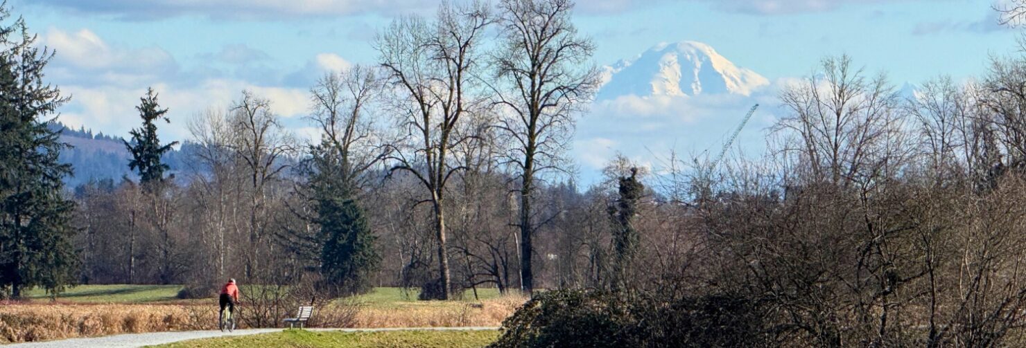
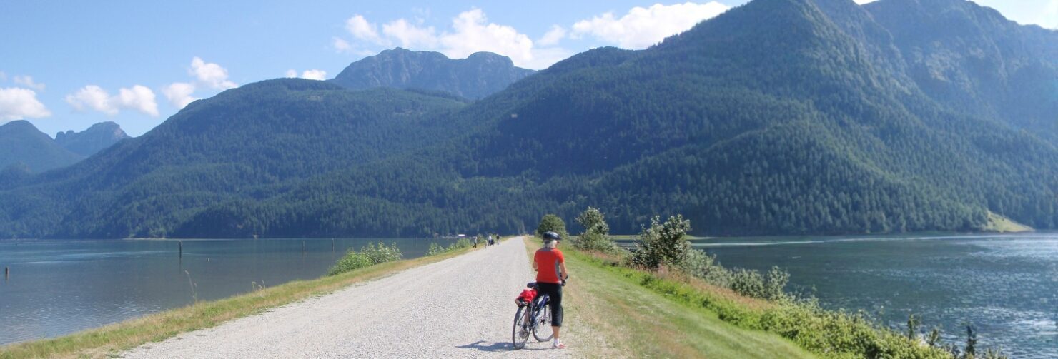
Ridge Meadows Dykes
Explore the flat and scenic dyke trails of Pitt Meadows and Maple Ridge along the Alouette River, with views of the mountains and farm fields. This ride is one of the easiest, a favourite any time of the year and it’s part of The Great Trail!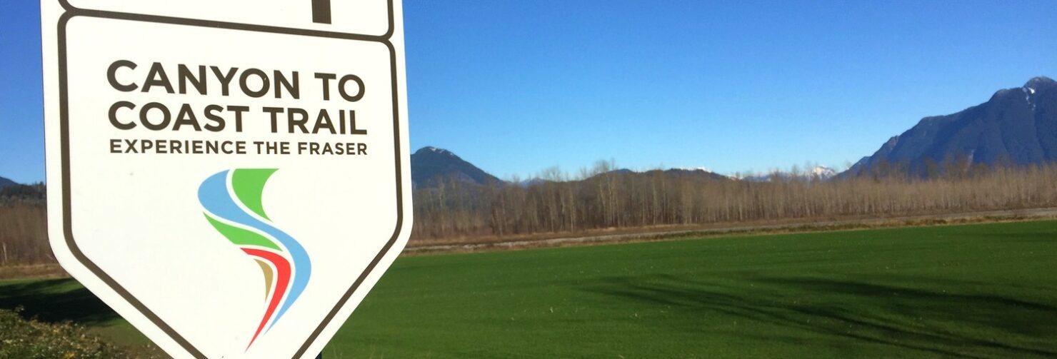
Experience the Fraser ~ Canyon to Coast Trail
One day we will be able to cycle from Hope to Steveston along the Fraser River 550 kilometers, a chain of parks Oh Wow ! The Coast to Canyon Trail ~...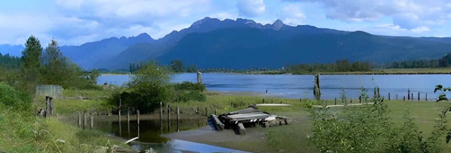
Minnekhada
Minnekhada was once the hunting lodge of Eric Hamber, Lieutenant Governor of BC in the early 1900s and is now a popular park. Follow The Great Trail along the Coquitlam River and join the Poco Trail through Port Coquitlam to the Pitt River dyke. Enjoy snow-dusted mountain views in winter and look for bears in the blueberry fields in summer.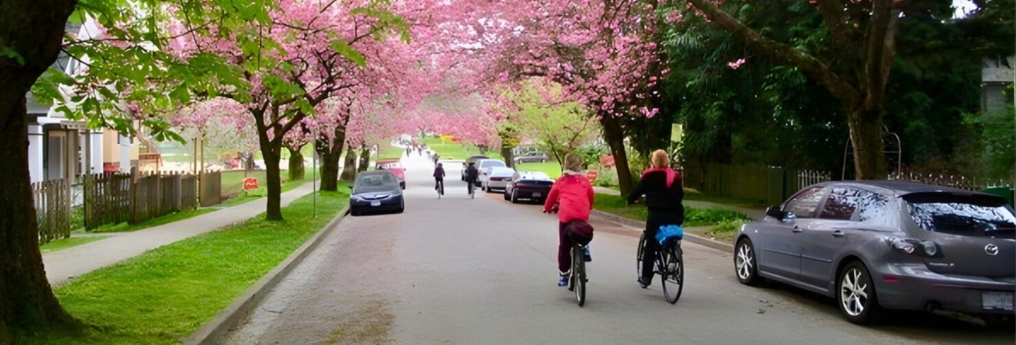
Ridgeway Loop
Vancouver’s Ridgeway Greenway is a linear exploration of a string of parks, walkways, seating areas, and public art. Look around you as you ride — and look up — there’s art everywhere.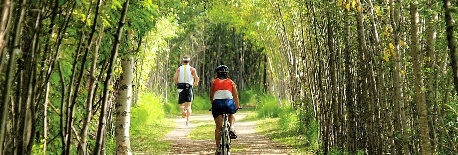
TransCanada Trail – BC
The Trans Canada Trail Cycle, hike, wheel, paddle, ride, ski or snowmobile through a Canada’s landscapes – urban, rural and wilderness, along greenways, waterways and roadways on the longest trail...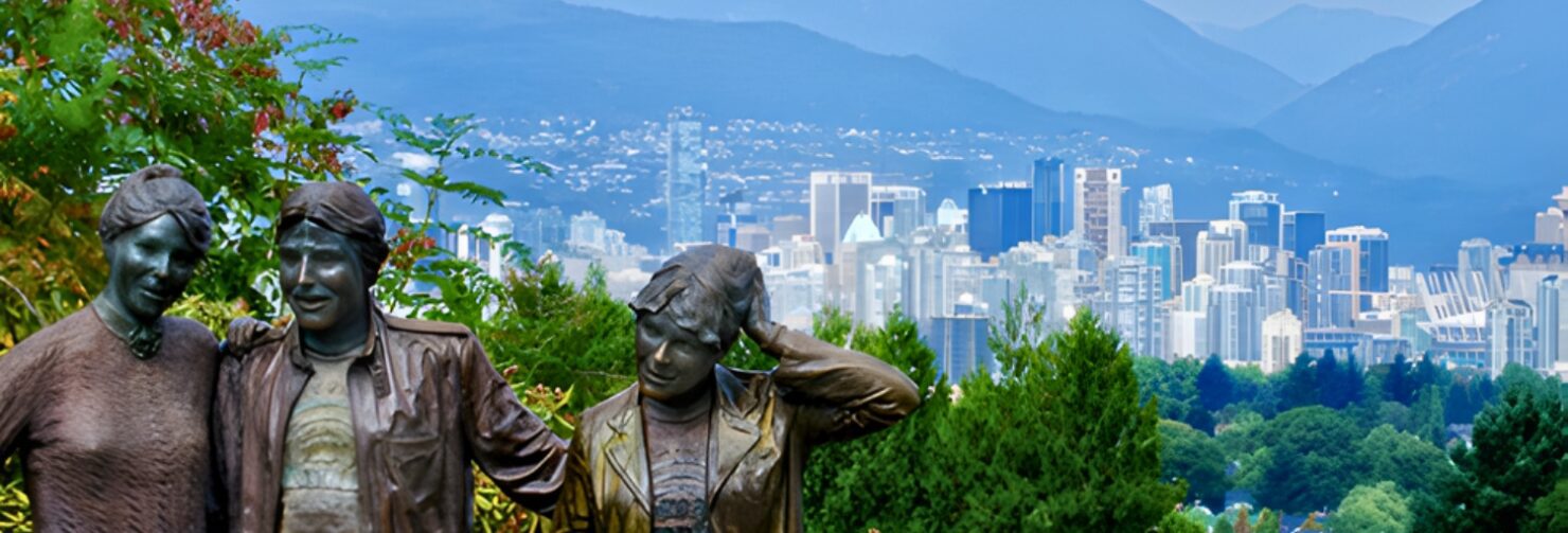
Queen Elizabeth Park Loop
This route follows five Vancouver Greenways: Seaside, Cypress, Arbutus, Ridgeway, and Ontario. Queen Elizabeth Park is the highest spot in the city. Once a rock quarry, the park is famous for city views, Quarry Gardens, Bloedel Conservatory, fountains, and art. The most famous sculptures are Knife Edge by Henry Moore and Photo Session by Seward Johnson Jr.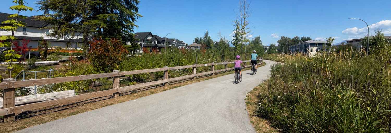
Willoughby Wandering
A wandering route stitched together with parks, pathways, and neighbourhood links.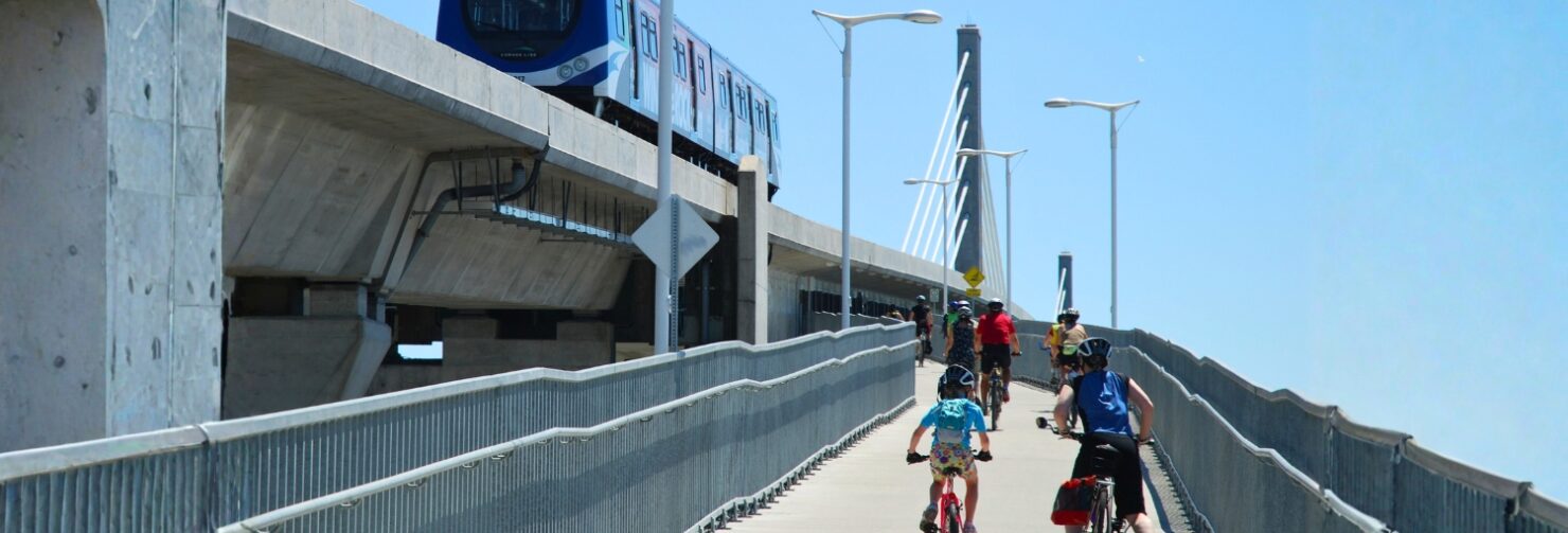
Vancouver to Steveston
Ride the rails-to-trails from Vancouver to Steveston. Start on the Arbutus Greenway, ride over the Canada Line Bridge, along Middle Arm Dyke Trail then follow Railway Greenway. Visit the historic fishing village of Steveston on the Fraser River and have lunch at Fisherman’s Wharf. Ride back via the same route, or take the Canada Line from Aberdeen Station.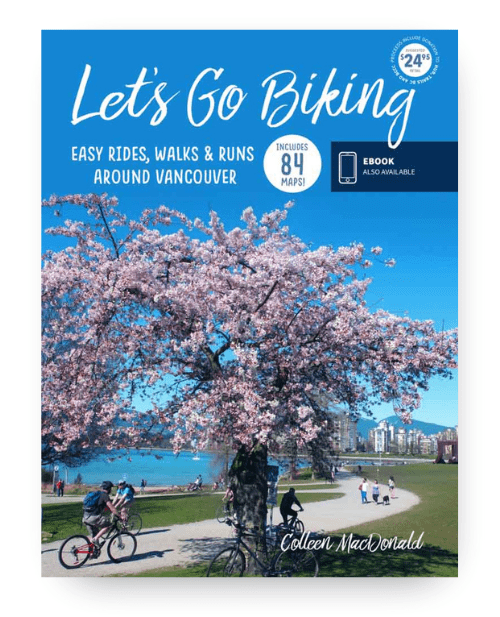
Around Vancouver
Discover Vancouver’s most scenic easy rides — from seawalls and greenways to peaceful farmland loops and quiet country roads. Designed for casual riders, families, visitors, and anyone who prefers exploring at a slower pace.- 84 easy-to-follow routes across Vancouver, Fraser Valley & Whistler
- Ride your own way – from flat scenic trails to quiet country roads
- Purchase supports local cycling advocacy