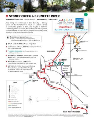
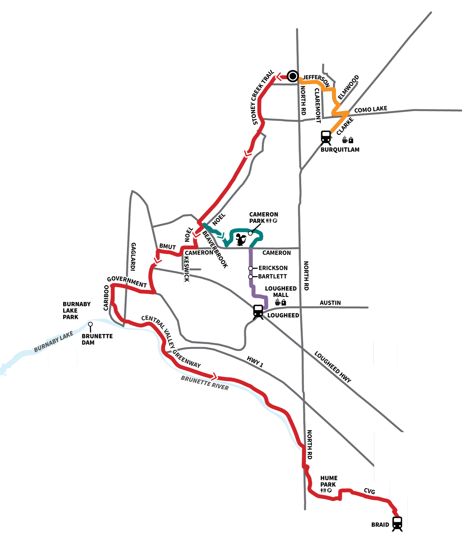
A quiet, meandering ride along shaded waterways through Burnaby and Coquitlam with a mostly off-road feel.
Distance
~26 km return
Terrain
Hardpacked trails
A scenic ride following two waterways through East Burnaby and Coquitlam.
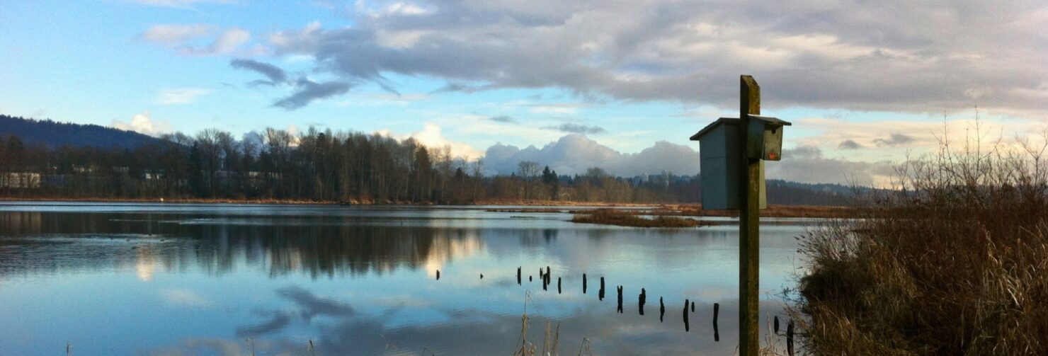
Ride along Stoney Creek and the Brunette River with forested sections and wildlife habitat.
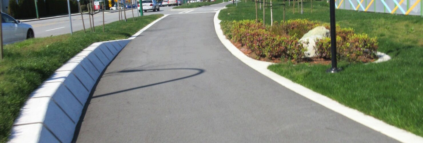
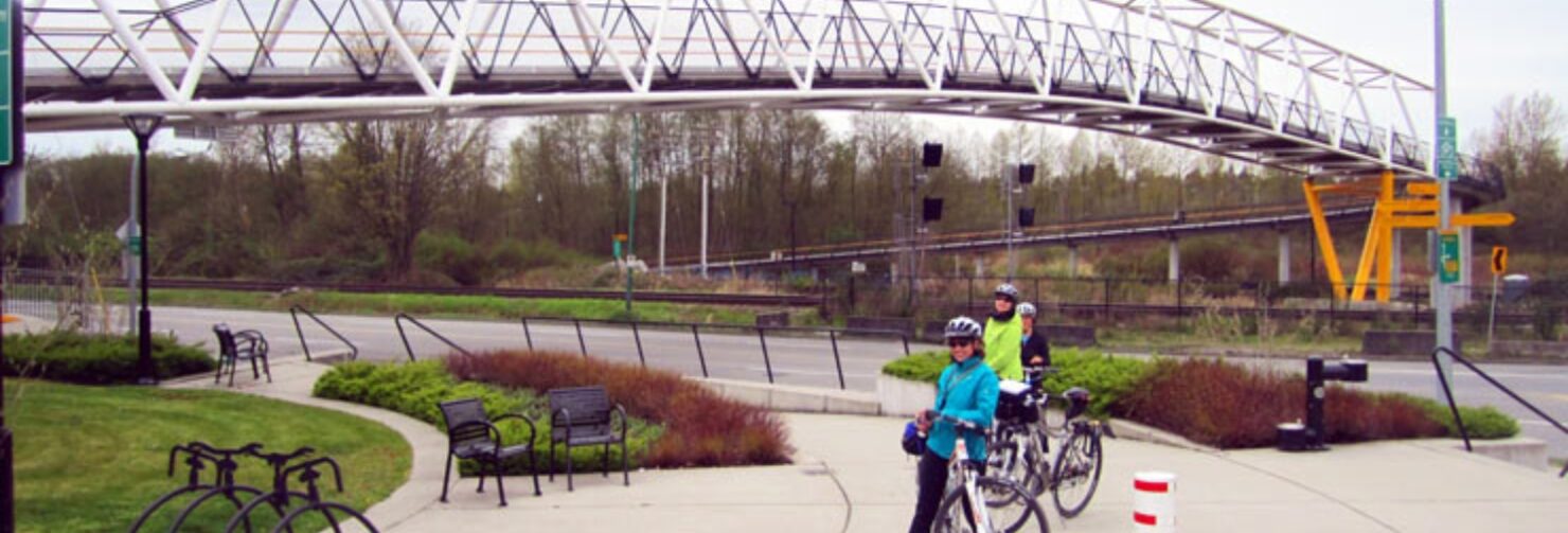
A peaceful, mostly off-road route with a few urban connections.
Route
- Start at North Rd & Jefferson
- Follow Stoney Creek Trail
- Loop Burnaby Lake
- Optional Deer Lake loop
- Return via Central Valley Greenway
Highlights
- Burnaby Lake
- Deer Lake
- Stoney Creek Trail
- Cameron Park


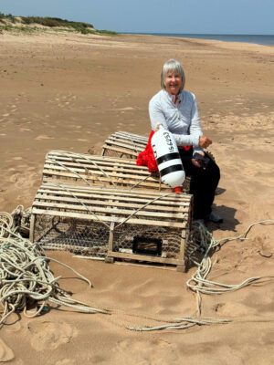
A quiet meandering ride. ~ Colleen
navigation tools
- View this ride on the Google map