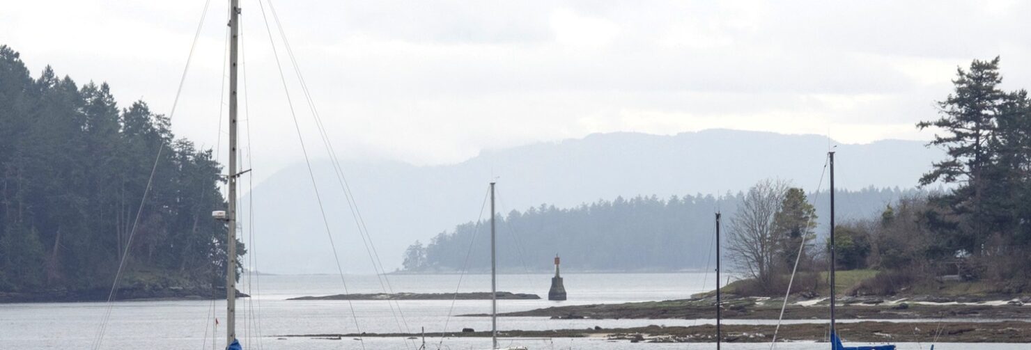
Gabriola Island
Gabriola is a short ferry ride from Nanaimo. Loop around the island, visit Folklife Village, the S’ul-hween X’pey Elder Cedar Forest and Silva Bay. Walk the trails at Drumbeg Park,...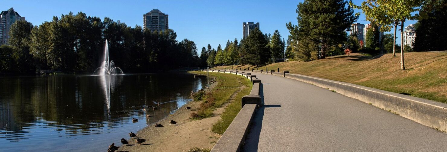
Town Centre + Coquitlam River
Explore Town Centre Park and the Coquitlam River on this easy ride. Accessible by Skytrain, the park has many paved trails ― great for beginners. Linking east from the park is the Coquitlam River trail, a nice woodsy ride along the river and it’s part of The Great Trail. It’s a good ride for a hot summer evening or in the fall when the leaves crunch under tires. At the Blue Bridge, connect to the Poco Trail route for a longer ride.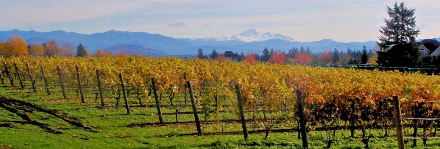
Roller Coaster
This is an undulating ride and you’ll see why we call it Roller Coaster when you Wahoo! down Olund hill. It’s 40km of ups and downs, but mostly downs, and is one of our favourite rides.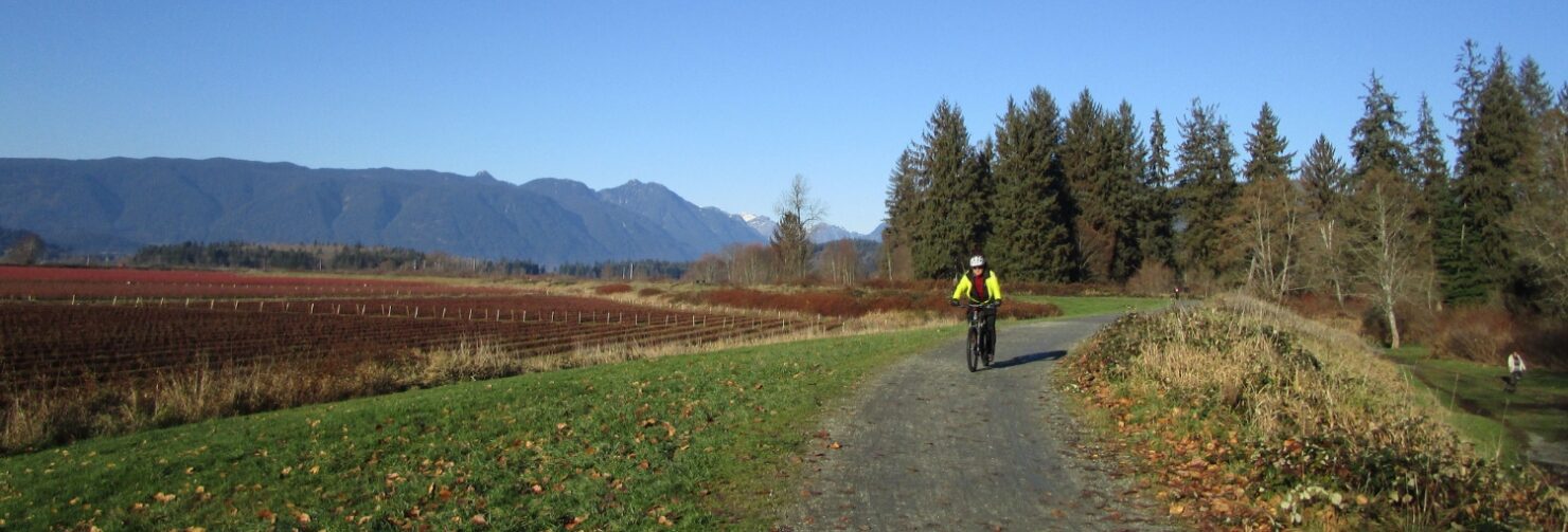
Blue Heron Loop
Framed by the mountains in the north and circling blueberry fields, this is one of my favourite places to ride and walk. There’s some fun singletrack and rocky sections on this one so take your mountain bike.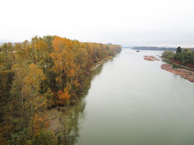
Three Bridges ~ Port Mann, Golden Ears, Pitt River
Enjoy three bridges, three parks, and three greenways on this loop around the Fraser River. Ride over the Port Mann Bridge, through Surrey, over the Golden Ears Bridge, along the Pitt River Greenway, and the Poco Trail.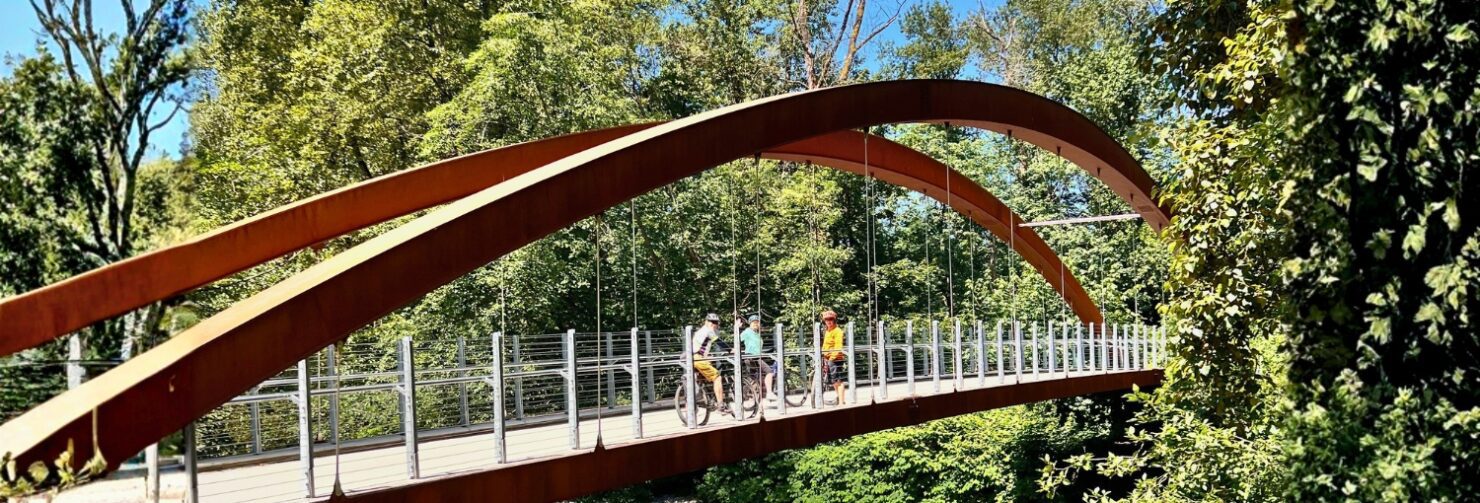
Lynn Creek
There are two short but fun routes on Lynn Creek on the North Shore. Upper Lynn Creek has a more advanced trail and you can connect to Lower Seymour Conservation Reserve. For a short and sweet ride explore Lower Lynn Creek. There’s a bike skills park in Inter River Park. Add on a short walk down Harbourview Trail and climb the viewing tower for a peek at the working harbour.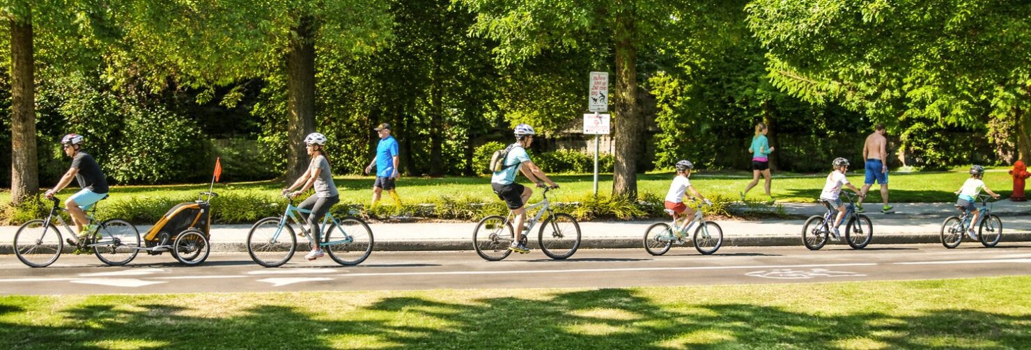
Translink Cycling Map
It’s nice and simple … the new Translink Cycling Map shows the ‘best’ cycling streets and trails. Available online or pick up a copy at your local bike store. Many...Hiking & Trekking
Step Into the Wild: Hiking & Trekking Adventures Discover the raw beauty of nature one step at a time. Our hiking and trekking experiences are crafted for both seasoned explorers...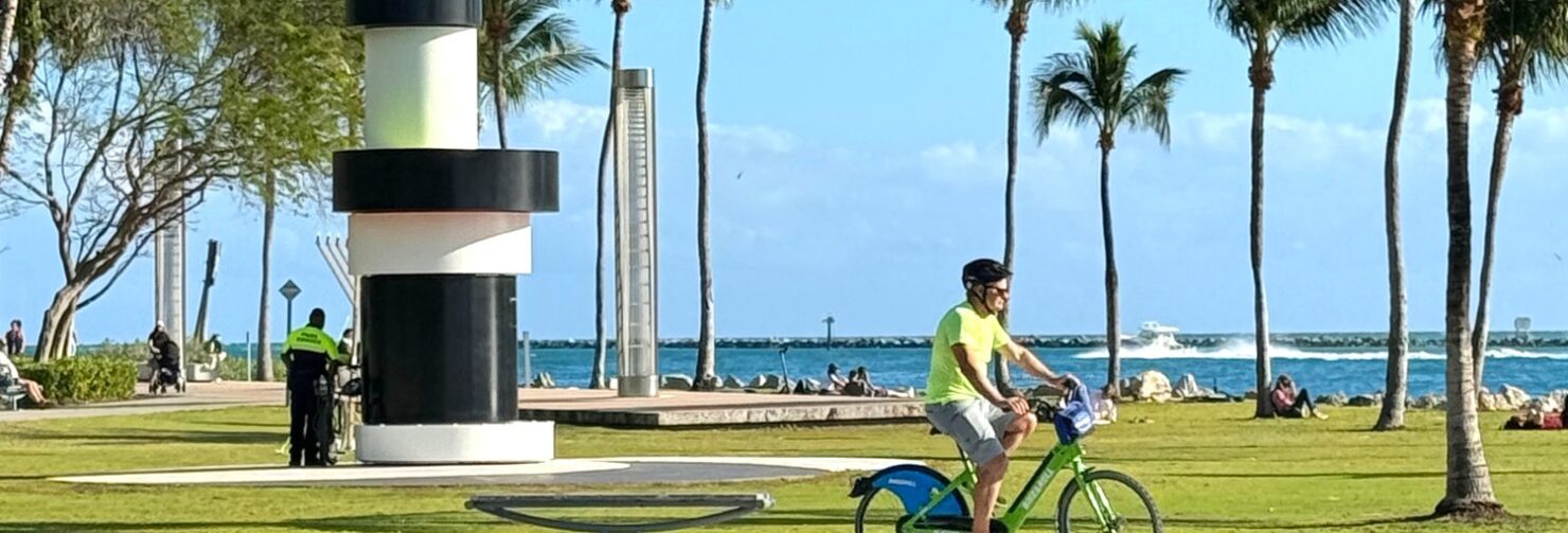
Miami Beach Walk – Florida
Discover the Miami Beach Walk Get ready for an unforgettable journey along the Miami Beach Walk, a vibrant 10-mile (17 km) path that stretches from South Pointe Park to Bal Harbour. Perfect for adventurers...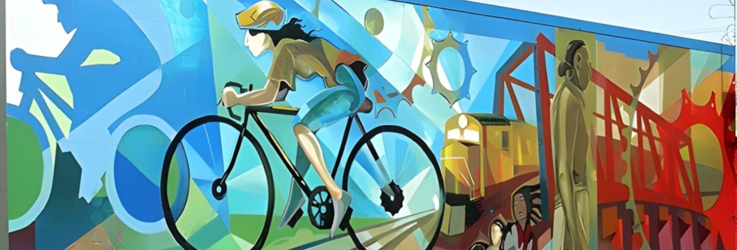
The Drive
Tour East Van and visit The Drive on the Adanac Bikeway. There are breweries to visit, murals to see, and restaurants and shops on Commercial Drive. Add on a loop through Strathcona and Chinatown. At the end of the day you’ll see a stream of crows in the sky as they fly home at night.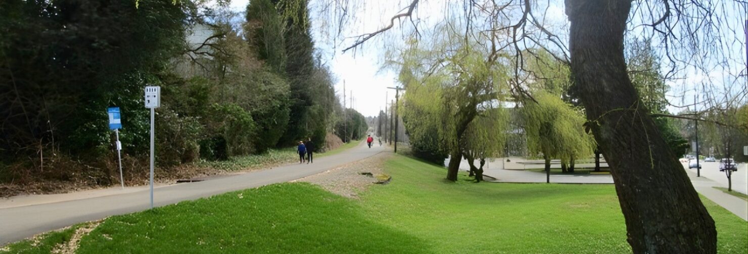
Arbutus Greenway
Here comes the Arbutus Greenway ― a dream come true for Vancouver! This former railway is now a safe urban space for people to enjoy. The trail starts near Granville Island and runs 8.5km on a paved and separated path towards the Fraser River ― Oh Wow! For those wanting to go further connect to Canada Line Bridge to Richmond.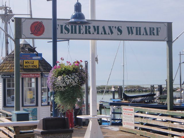
Steveston South Dyke Trail
A favourite and easy ride — from art sculptures to boats, an old fishing village with many shops and restaurants, three museums, a boardwalk, wildlife — this ride has it all.
Surrey Shores
Three parks in South Surrey offer something for everyone. Beginners can explore Crescent Beach, Elgin Park and Serpentine Fen. More advanced riders can loop the parks together for a 30km ride with views west across Boundary Bay and north to Vancouver’s Mountains. There is lots to see along the way...meandering wetland trails, the Nicomekl River, ducks and birds, and a historic farm.