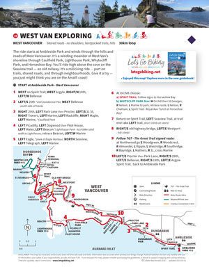
The ride starts at Ambleside Park and winds through the hills and roads of West Vancouver. It’s a winding meander of West Van’s shoreline through Caulfield Park, Lighthouse Park, Whytecliff Park, and Horseshoe Bay. You’ll ride high above the cove on the Seaview trail ― an old railway. It’s a rollicking ride … part on trails, shared roads, and through neighbourhoods. Give it a try ― you just might think you are on the Amalfi coast!
Get the route map (PDF) by entering your name and email address below.
You'll be subscribed to my monthly newsletter if you're not already a subscriber.
You’ll find this map and 80+ more in the book! Order your copy today
*Alert* – the stairs connecting Seaview Walk to the Old Highway have deteriorated making them a big climb (hike-a-bike). See bypass route down Cranley and up Westport on the map. (*Write a letter to West Van asking for a bike runnel on the stairs or a switchback trail.
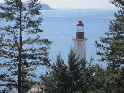
Lighthouse Park has many walking trails
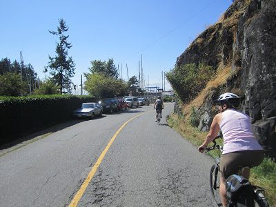
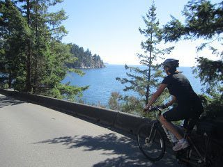
Cycling on Marine Drive – narrow roads but few cars
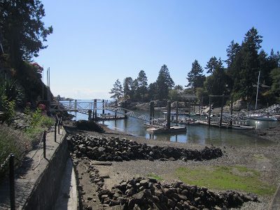
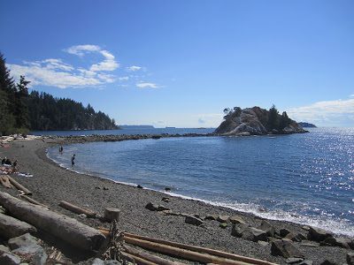
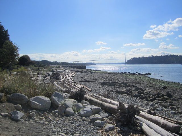
Whyte Islet at Whytecliff Park – scramble over the rocks at low tide
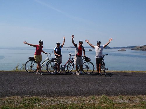
“Are we on the Amalfi coast?”
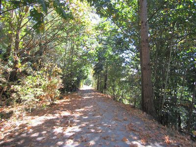
Take the TransCanada Seaview Trail. This rails-to-trail winds high above Eagle Harbour and is an easy 2% climb up from Marine Drive.
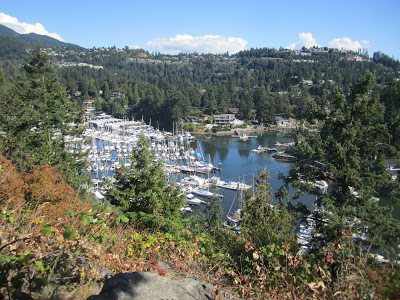
View over Eagle Harbour from Seaview Trail
Useful Links
North Shore Bike Map
Lighthouse Park Map
Your Voice Counts: Write a letter to West Vancouver council