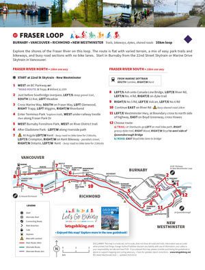
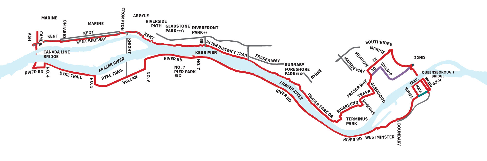
A full, varied loop exploring both sides of the Fraser River with dykes, parks, and ever-changing views.
Distance
~35 km loop
Terrain
Trails, bikeways, shared roads
A full loop exploring both sides of the Fraser River.
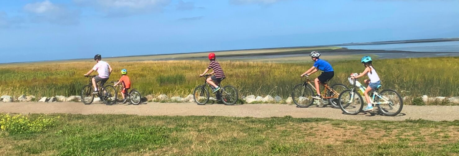
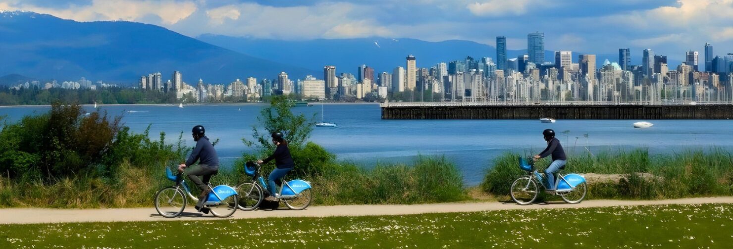
Ride dykes, park trails, and urban connectors with changing scenery throughout.
A great longer ride with a mix of quiet paths and urban riding.
Route
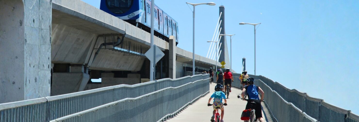
- Start at 22nd Street or Marine SkyTrain
- Follow north side of Fraser
- Cross to south via bridge
- Return along dykes and bikeways
Highlights
- Fraser River dykes
- River District
- Queensborough
- Varied terrain


Enjoy the working river – tugboats, log booms and lots to see! ~ Colleen
plan your route
- View this ride on the Google map
- GPX Tracks