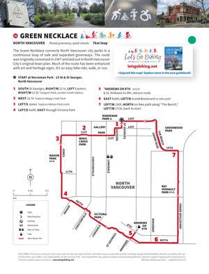
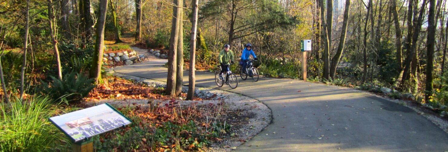
A seamless loop of parks, greenways, and quiet streets designed for easy wandering.
Distance
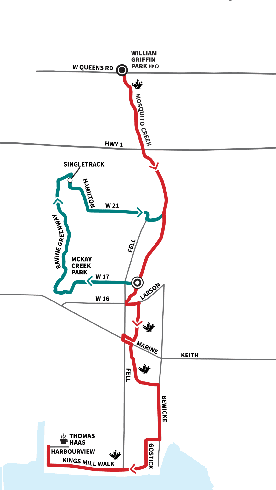
7 km loop
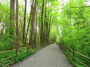
Terrain
Paved greenways and quiet streets
A continuous loop linking North Vancouver parks, greenways and neighbourhood streets into one easy, flowing ride.
Originally imagined over a century ago, it now feels effortless — a quiet route with art, history and leafy streets along the way.
Route
- Start at Norseman Park
- Follow Wagg Creek and Mahon Park
- Continue through Victoria Park
- Loop via Grand Boulevard back to start
Highlights
- Continuous park loop
- Wagg Creek + Mahon Park
- Victoria Park
- Grand Boulevard
- Public art and heritage features


Parks, pathways and quiet streets — all stitched together. ~ Colleen
navigation tools
- View this ride on the Google map
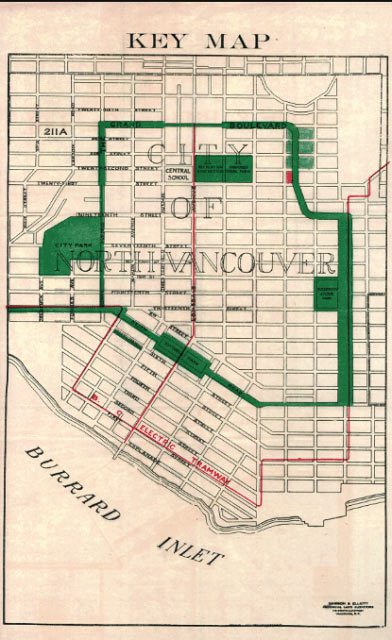
HISTORY
The route was originally conceived in 1907 and laid out in North Vancouver City’s original town plan. Much of the route has been enhanced with paved trails, artwork and signage as part of the city’s heritage. It’s an easy bike ride, a walk or a jog. Come on out and give it a try.