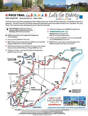
A flat, scenic loop around Port Coquitlam following three rivers on easy, mostly off-road paths.
Distance
25km–35km loop
Terrain
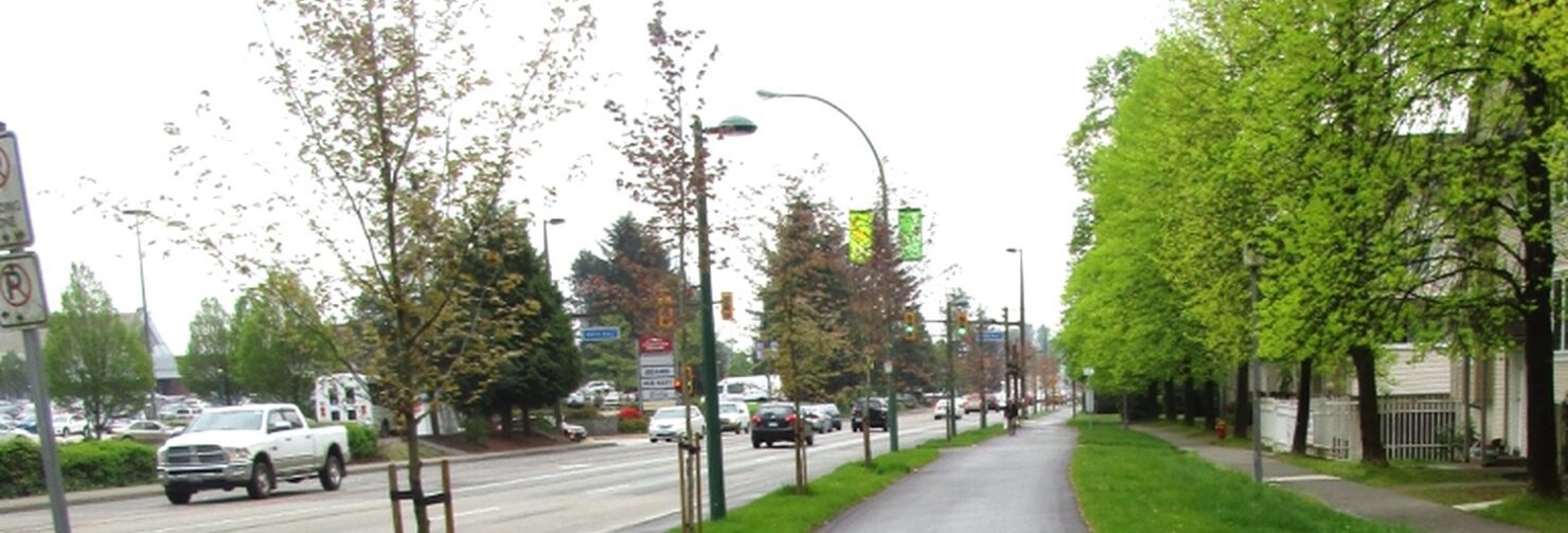
Hardpacked dyke trails and paved paths
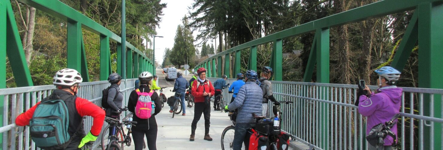
The Poco Trail is one of the most popular rides in Metro Vancouver. It’s flat, off road, and scenic…the perfect combo for a great day.
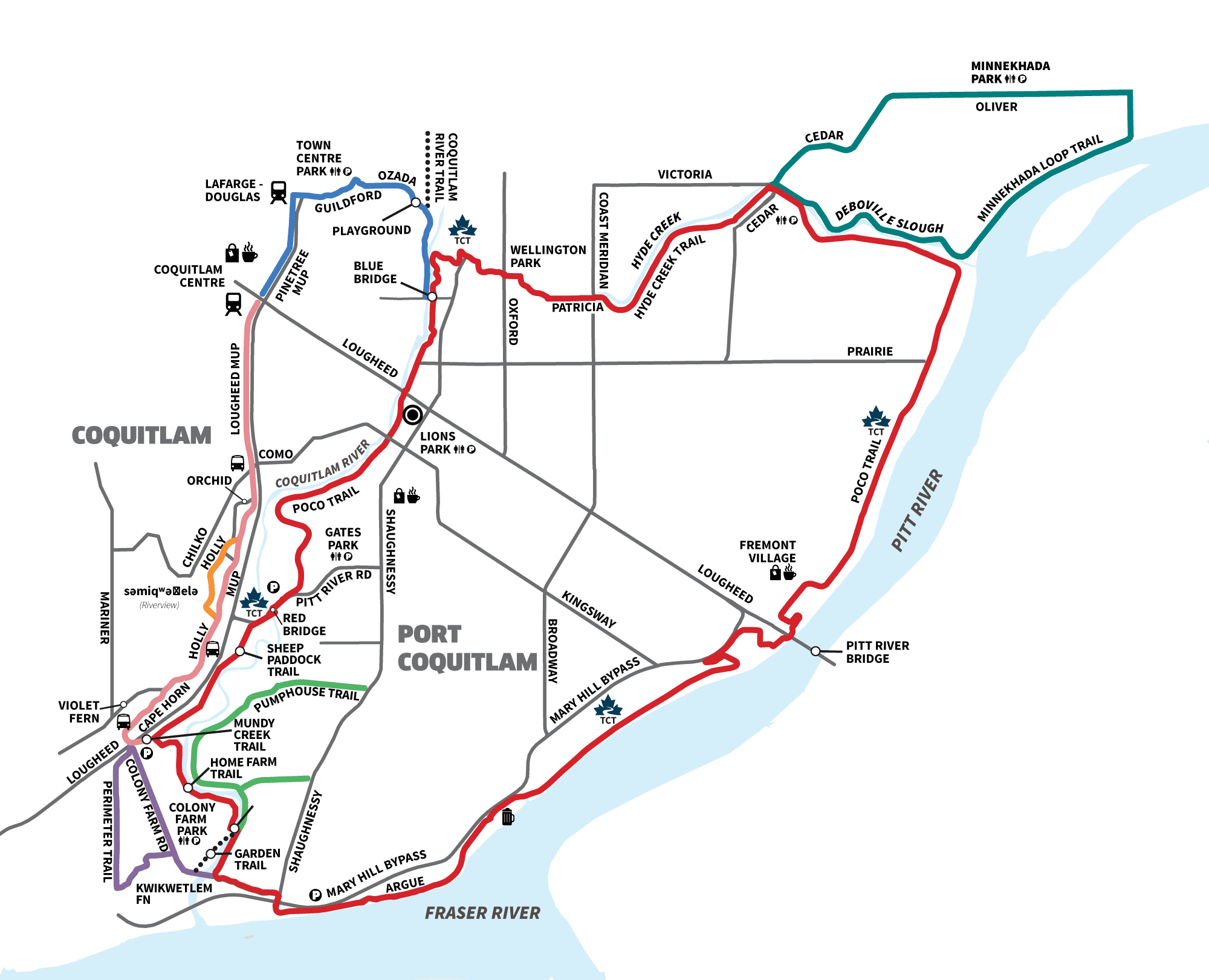
The trail circles Port Coquitlam weaving through parks and on the dykes of three rivers: Coquitlam, Pitt, and Fraser.
Route
- Lions Park
- Poco Trail south along Coquitlam River
- West along Pitt River
- Join Fraser River dyke heading east
- Optional Minnekhada or Colony Farm loops
Highlights
- Three rivers in one ride
- Mostly off-road trails
- Flat and beginner-friendly
- Multiple access points
- Connections to nearby routes


A steady, easy loop that can be enjoyed on any day of the year ~ Colleen
plan your ride
- View this ride on the Google map
- GPX Tracks
Useful Links
- səmiq̓ʷəʔelə – Place of the Great Blue Heron – is within the ancestral territory of kʷikʷəƛ̓əm. For more information visit https://www.sumiqwuelu.com
- ƛ̓éxətəm — is the new name to officially replace Colony Farm.