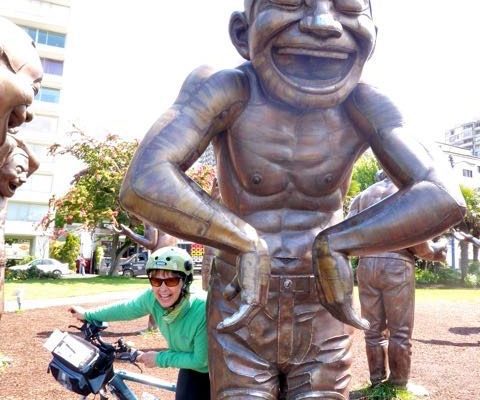
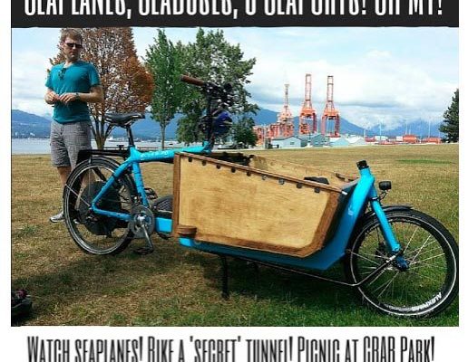
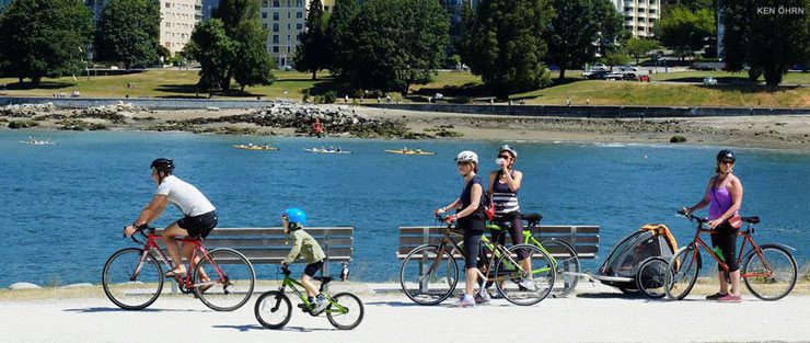
Vancouver’s Seaport is one of my favourite places to ride and explore. This ride is thanks to Lisa at Vancouver Family Biking. It’s an easy route for riders of all ages and abilities and great for families with chariots…
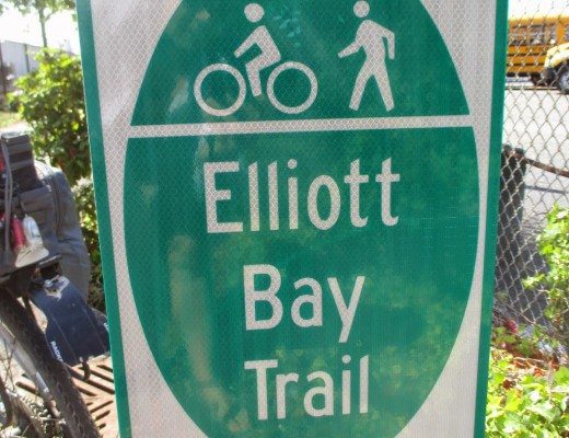
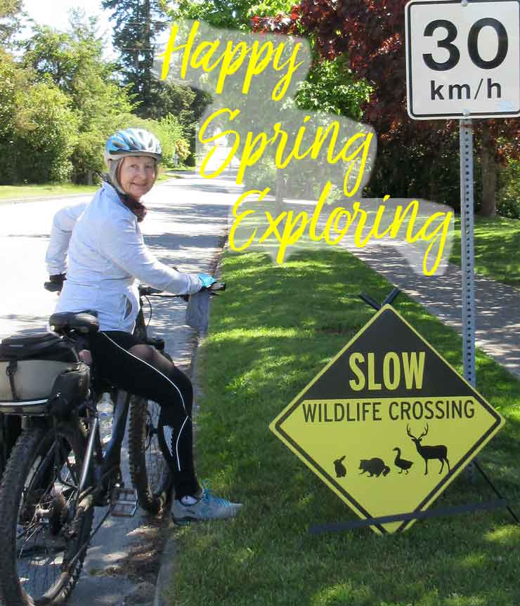
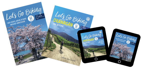
Let’s Go Biking is a collection of easy rides for cyclists of all ages and abilities around Metro Vancouver and beyond. The routes are great for walks and runs, too. There’s something for everyone, from flat scenic trails, city greenways, to quiet country roads. Suggestions for new rides are always welcome! Join the Let’s Go Biking Club for new routes, updates and free monthly prizes.