Imagine Your Journey
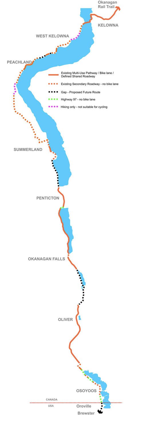
Imagine cycling the length of the Okanagan Valley—from the shores of Mara Lake in Sicamous to the warm desert landscape of Osoyoos, with rail trails, lakeside pathways, quiet country roads and welcoming communities linking the journey together.
The Trail of the Okanagans (TOTO) is a long-term vision to create one of Canada’s premier cycling corridors, connecting communities throughout the valley with safe, scenic routes for residents and visitors alike.

More than a Trail
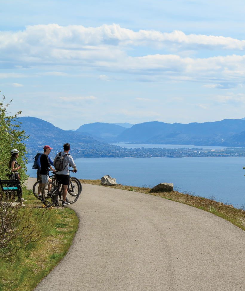
The Trail of the Okanagans is a shared vision of communities working together to:
• connect towns with safe cycling routes
• support local businesses and cycle tourism
• encourage active transportation
• celebrate the Okanagan’s landscapes and vineyards
• create unforgettable multi-day cycling experiences
Ready to ride …
Several outstanding sections of the Trail of the Okanagans are already open, including:
- Okanagan Rail Trail
- Shuswap North Okanagan Rail Trail (SNORT)
- Myra Canyon
- Penticton pathways
- Naramata Bench
- Osoyoos lakeshore routes
- Vernon and Kalamalka Lake
Each completed section brings the overall vision one step closer.
As more sections are completed, the vision becomes increasingly achievable.
For updates and information visit Trail of the Okanagans.

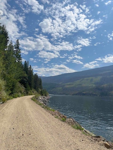
Looking Ahead
The Trail of the Okanagans reflects exactly the kind of collaboration taking place across British Columbia.
Local governments, tourism organizations, cycling groups and community volunteers are working together to create connected, welcoming routes that encourage people to explore communities by bike.
Every new section brings the vision closer to reality. Today you can already ride outstanding portions of the corridor—from SNORT and the Okanagan Rail Trail to Myra Canyon, Penticton and Osoyoos. As remaining gaps are filled, multi-day touring through the entire valley becomes increasingly achievable.
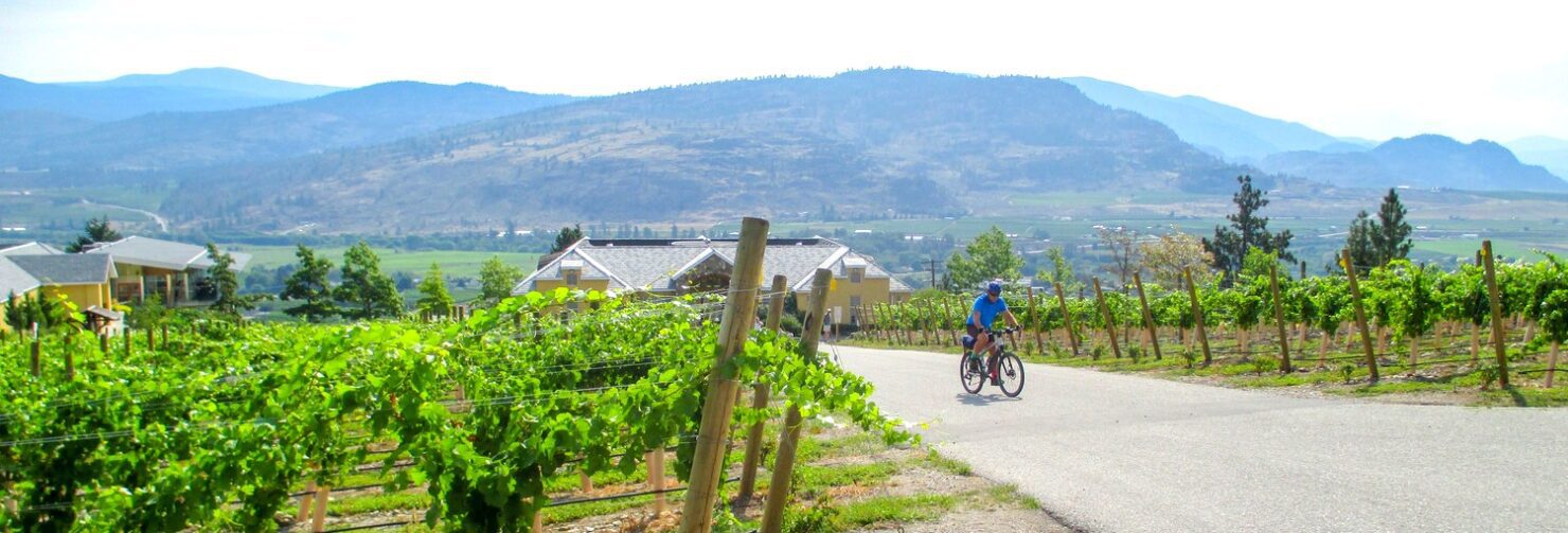
Cycle from vineyard to vineyard.
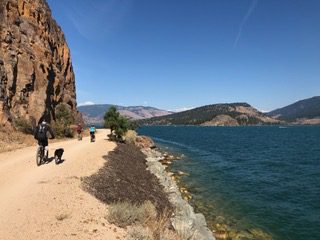
Watch the sunrise over Kalamalka Lake.
Float the Penticton Channel after your ride.
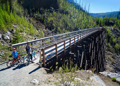
Cross historic railway trestles at Myra Canyon.
Pause for coffee in a small lakeside community.
Spend a week discovering one of Canada’s most diverse cycling destinations.
That’s the experience the Trail of the Okanagans is helping to create.
Let’s Go Biking currently features many of the completed Trail of the Okanagans sections, along with detailed Google Maps, Ride with GPS routes, photographs and local recommendations. As additional sections open, they’ll be added to the collection.
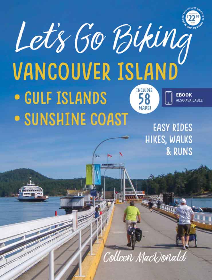
For detailed maps with things to see along the way, and connecting routes, pick up a copy of Let’s Go Biking to the Okanagan & Beyond. Available in BC bookstores, bikeshops and gift shops or order book and ebook online at Let’s Go Biking Books.

plan your ride
- Explore the entire corridor. View the interactive Google map
- Ride Individual Sections. RideWithGPS collection ~ The Trail of the Okanagans